In May 1933, Tennessee was set to activate the plan of President Roosevelt. Folks along the banks of the Tennessee River were preparing for the “New Deal.” One unidentified southern resident offered this delightful description of the situation:
“The Tennessee River, which runs about 650 miles, is formed by the confluence of the Holston and French Broad rivers near Knoxville, TN and follows a U-shaped course to enter the Ohio River at Paducah, Ky. Navigation has long been impeded by variations in channel depths and by rapids, such as those at Muscle Shoals.
“However, the Tennessee Valley Authority converted the river into a chain of lakes held back by nine major dams. As a result, river traffic increased, flooding was controlled, a water-oriented recreation industry was established and hydroelectric power generated at the dams attracted new industries to the region.
“The languid Tennessee, Belle of the South's river clan and coquettish like a debutante, is ready for its billion dollar coming-out party with President Roosevelt serving as chaperon.
“It is a lazy old river, haughty with its heritage of romance and glamour, and the folks who stir the dirt of its valleys and dig the wealth of its hills are proud that the Tennessee has been chosen by the President for a gigantic experiment of development.
“For unless the best laid plans of men go awry, the Tennessee, “Tenne-seeee” as locals call it, will be the government's lucky charm for the forgotten man, the first trump of the new deal.
“The Tennessee is the favorite child of Dixie's river family. The South holds the Mississippi as headman of the bunch and fears the capers of the Arkansas, but the Tennessee, from its source to its mouth, is the pride and joy of river lovers with its 900 miles of power. It is formed at Knoxville by the Holston and Broad rivers along with numerous mountain streams.
“At Knoxville, it bents south. The Great Smoky Mountains, the venerable hills that were old when the gardens of Babylon were new are to the west. Factories dot its banks. Tobacco and grain farms splotch its valleys like green silk in a patchwork quilt.

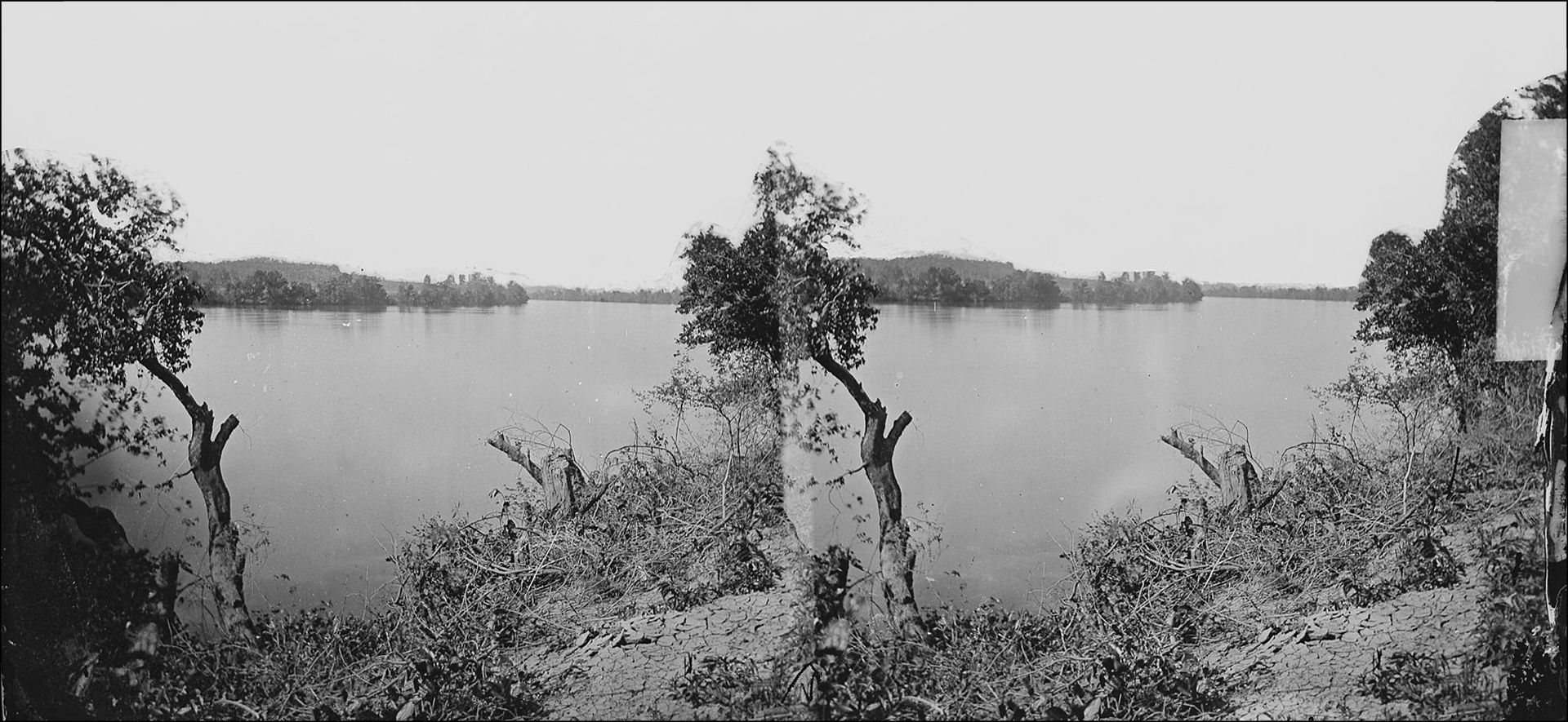
A Stereoscope Card Made for 3-D Viewing Shows a Photo on the Banks of the Tennessee River
“The Tennessee gathers speed as it hurries toward Chattanooga, sweeping around great bends and singing a symphony of strength. Its waters turn giant wheels and of its power are born things men need, such as cloth and furniture.
“The mountains fall away as the river hustles down its path, but rises again as it reaches Chattanooga. It makes a hairpin turn at Moccasin Bend and salutes Lookout Mountain, the last mountain sentinel on its southward course and then runs off, being Alabama bound.
“All of a sudden, the country starts to look different. The folks are notably different. Cotton takes the place of wheat and men along the banks follow plows instead of fancy machinery. But the mighty river doesn't change; it waters the land that feeds the folks. At Guntersville, it changes its mind and, instead of continuing south, sweeps around a bend and heads north again. The climb is tortuous even for the powerful Tennessee.
“It gathered all its strength and makes a spectacular plunge toward Muscle Shoals. There nature cuts a hole in its bed and the Tennessee roars and tosses over the shoals, picking its way through Wilson Dam and then tears away again, free to run its race to the Ohio River.”
Roosevelt's plan came that same year on May 18 in the form of the newly-acted Tennessee Valley Authority. TVA addressed a wide range of environmental, economic, and technological issues, including the delivery of low-cost electricity and the management of natural resources. The Tennessee River would never be the same.
